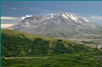
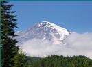
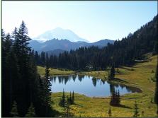
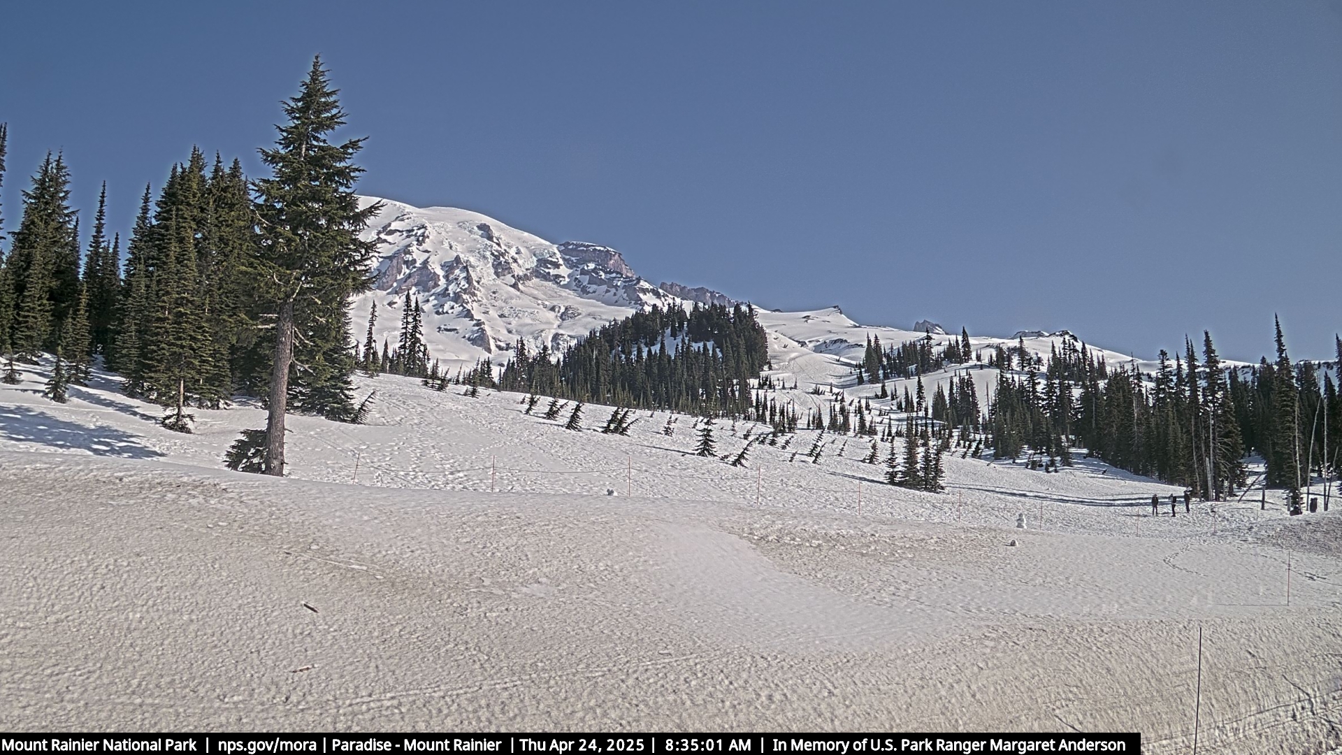
Mount Rainier is a stratovolcano located in the Mount Rainier National Park. Located just 54 miles southeast of Seattle, Washington it is the highest peak in the Cascade Range. It ranges in elevation from 1,610 feet to 14,411 feet above sea level. The mountain and the surrounding area span Mount Rainier National Park. The mountain is mostly covered by snow and glaciers. There are 26 major glaciers and many unnamed snow and ice patches. The Emmons Glacier has the largest area at 4.3 square miles. Carbon Glacier has the lowest altitude at 3,600 feet. The geothermal heat has also caused the formation of glacier caves in the twin summit craters.
Mount Rainier was originally known as Tahoma or Tacoma. It has a topographic relative height on the southern horizon of 13,211 feet. It can be seen from downtown Seattle and on clear days, it can also be seen from as far away as Portland, Oregon.
Scenic drives, hiking, backpacking, picnicking, fishing, photography, mountain climbing, camping, cross-country skiing and snowshoeing are very popular at Mount Rainier National Park. There are several hiking trails, including the Wonderland Trail which is a 93 mile trail which circles the peak and enters remote areas.
The National Park Service has an excellent information page at http://www.nps.gov/mora/index.htm


Mount Rainier National Park
55210 238th Avenue East
Ashford, Washington 98304
(360) 569-2211
(360) 569-2170 Fax
55210 238th Avenue East
Ashford, Washington 98304
(360) 569-2211
(360) 569-2170 Fax